Listing Photography
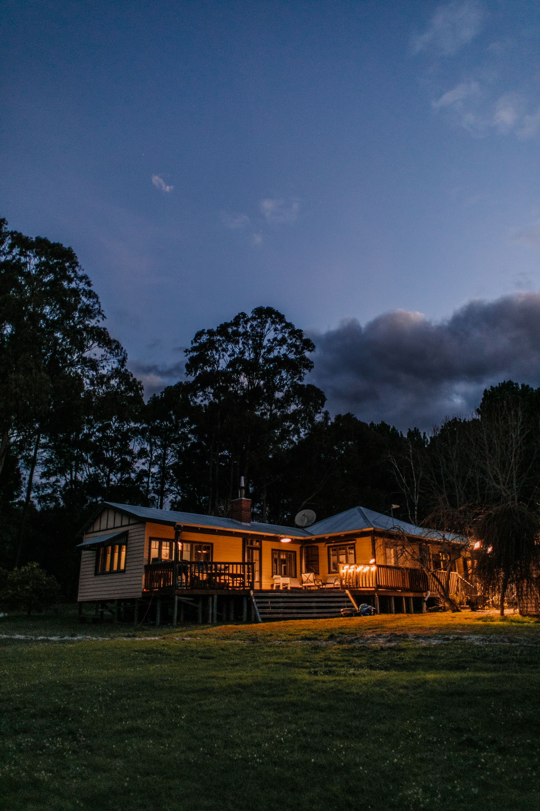
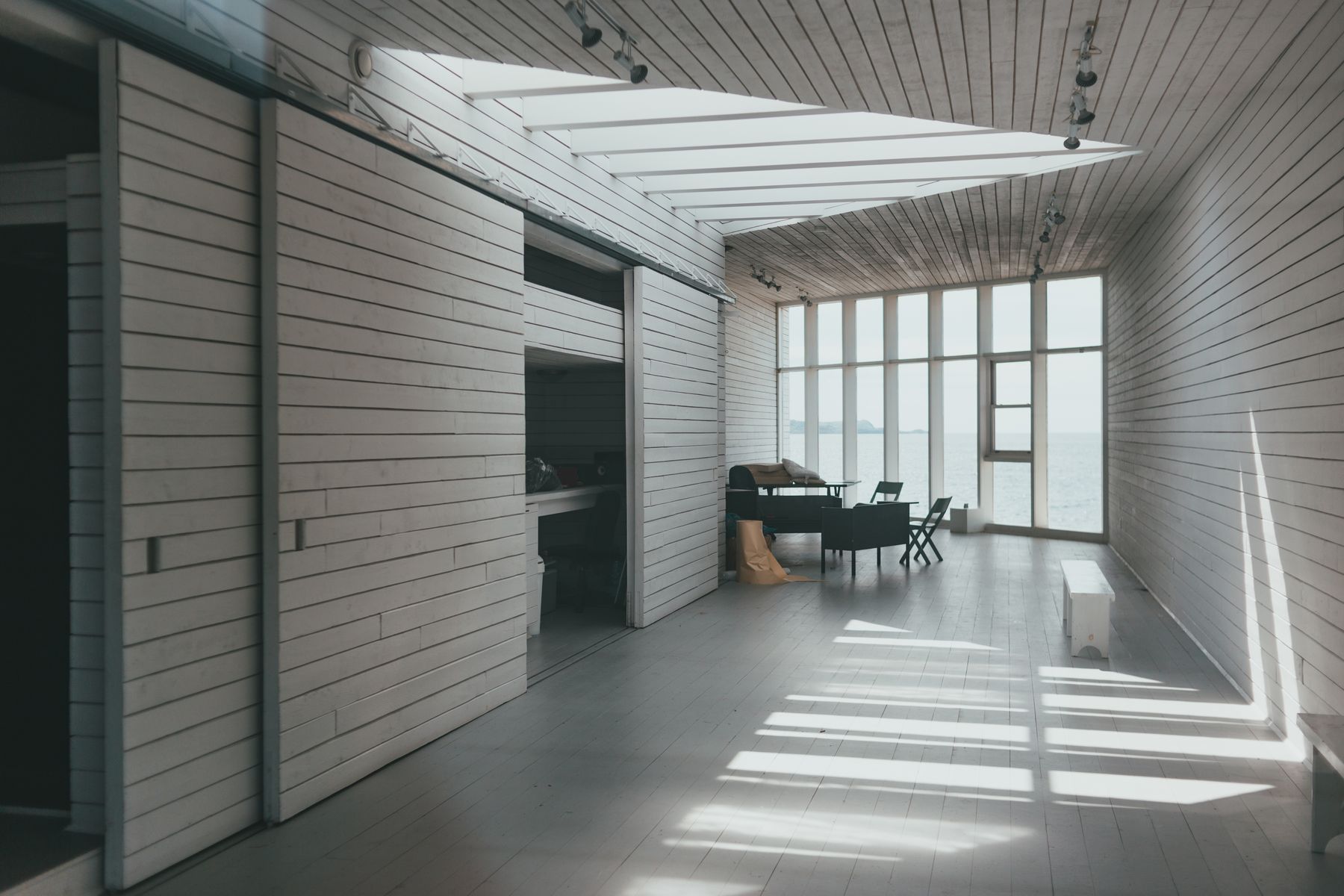
Bright, accurate interior and exterior images composed to make the property easy to understand before the showing.
HDR interiors · Exteriors · Detail shotsReal estate media · Central Virginia
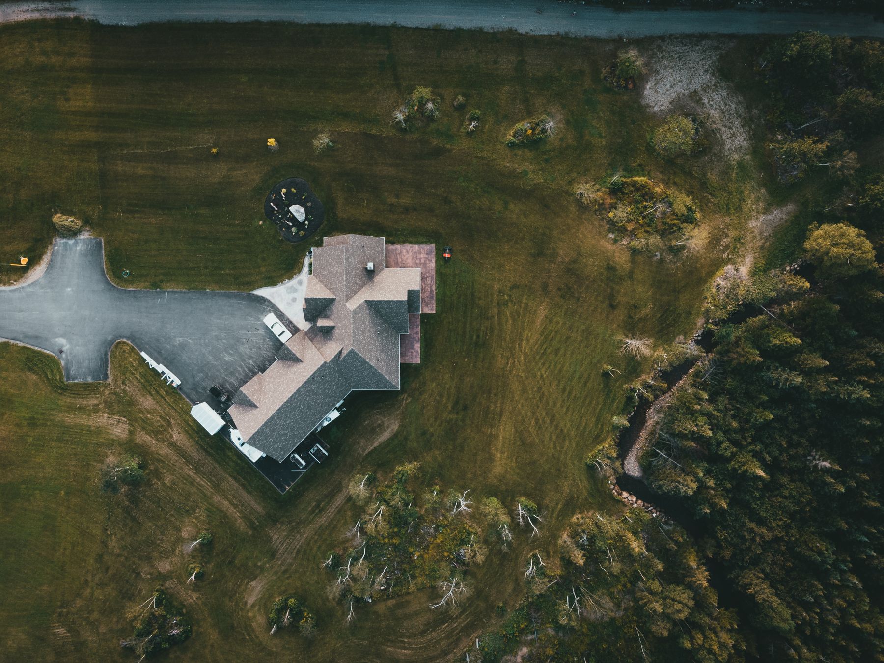
Photography, aerial video, and photogrammetry built to show more than a listing— from the room to the roofline to the full lay of the land.
What we capture
Choose a focused shoot or combine services for one coordinated property-media package.
Bright, accurate interior and exterior images composed to make the property easy to understand before the showing.
HDR interiors · Exteriors · Detail shotsProperty context, acreage, access, views, and nearby features captured from angles that ground-level media cannot reach.
Hero stills · Cinematic clips · Vertical reelsOverlapping aerial imagery processed into measurable 2D and 3D site records for planning, documentation, and progress review.
Orthomosaics · 3D models · Progress capturesSelected perspectives
Preview imagery shows the intended portfolio presentation. Apollo project work can replace these samples before public launch.
Beyond the listing
Photogrammetry converts overlapping drone images into detailed maps and 3D models. It is a clear way to document acreage, existing conditions, construction progress, roofs, and hard-to-reach areas.
Outputs are visual documentation unless survey-grade control is specifically scoped.
Service area
Primary coverage follows the Harrisonburg–Charlottesville corridor and nearby communities. Rural acreage, mountain access, and longer travel are confirmed during scheduling.
How it works
Every shoot starts with the property goal, not a generic shot count.
Confirm the address, deliverables, access, property condition, and weather window.
Photograph and fly a controlled shot list while respecting the property and surrounding airspace.
Color-correct, edit, quality-check, and organize the final files for simple delivery.
Start a project
Share the property, timing, and deliverables. Apollo will review the flight conditions and follow up with the next step.